Funded by a $1.5 million grant from the National Science Foundation, a team of 11 Clark faculty and over a dozen students are collaborating with community stakeholders and municipal and federal governments in Central Mexico to address the region’s longstanding water crisis.
“The Mexico City basin has been overexploited for 50 years.”
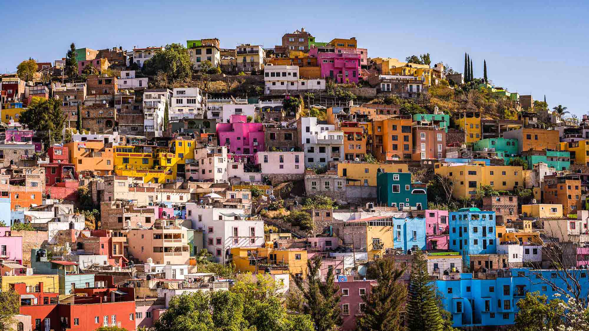
The Mexico City metro area is a barometer for the impacts of climate change, unchecked urbanization, and resulting water stress, says Professor Tim Downs, an environmental scientist and engineer in the Department of Sustainability and Social Justice with expertise in aquifers and watershed stewardship.
Yet, the region is poised to become a model for sustainability, Downs believes, if policymakers, communities, businesses, and universities collaborate to visualize alternative climate and development scenarios to reshape their collective future and alter their fate.
That’s where an interdisciplinary team of researchers comes in from Clark’s School of Climate, Environment, and Society, and the Becker School of Design & Technology. They are using the tools of GIS — remote sensing/satellite data and digital maps — with system dynamics modeling, virtual/extended reality (VR/XR) technology, and experiential educational experiences to help Central Mexico’s policymakers and the public understand the threats posed by climate change and how to mitigate them.
“We’re studying this region because it’s an example of what’s wrong with ‘business-as-usual’ development. The Mexico City basin has been overexploited for 50 years,” Downs says. “This region is emblematic of the pressing environmental and social justice challenges that the world is facing under climate change.”