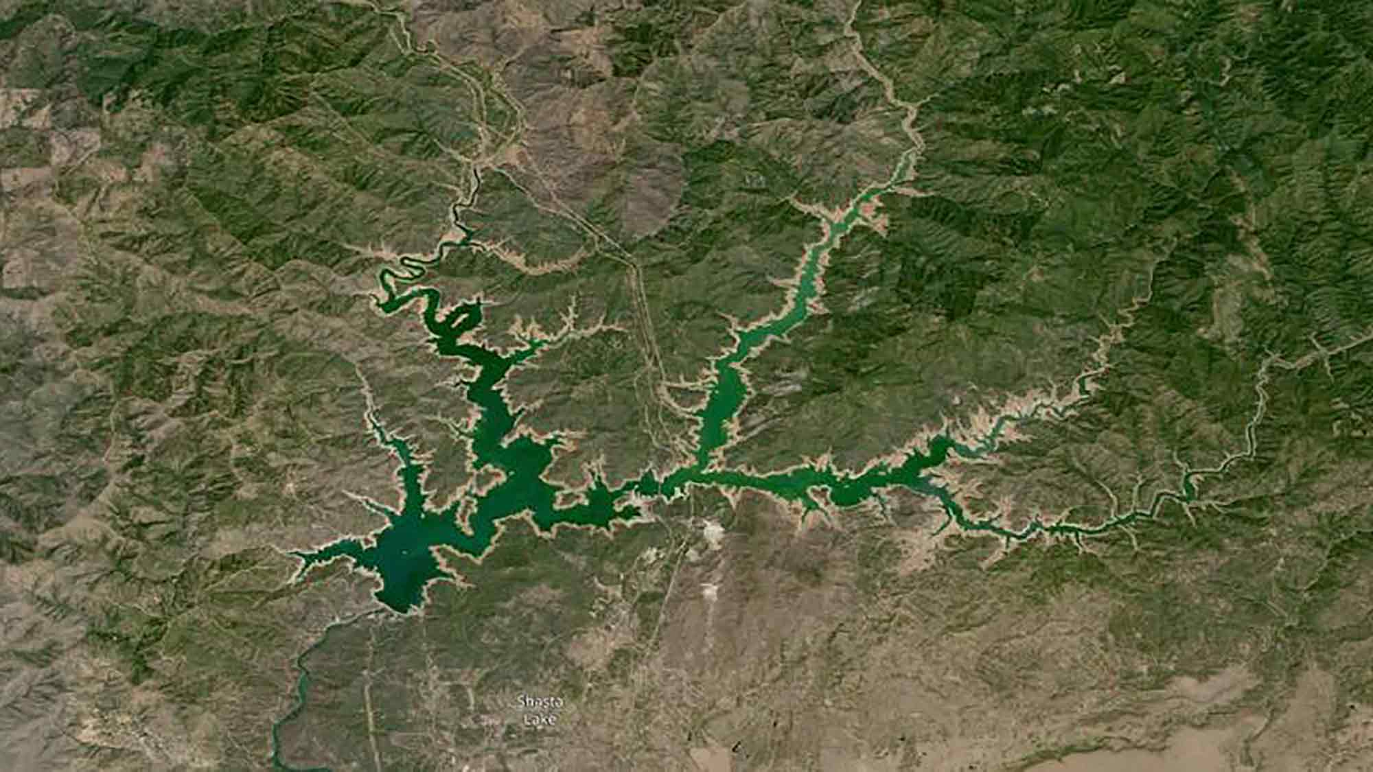
Working with NASA and IBM, Hamed Alemohammad, director of Clark’s Center for Geospatial Analytics in the School of Climate, Environment, and Society, and a team of six graduate students have produced the world’s first geospatial AI foundation model, a milestone that will allow scientists to extrapolate satellite data more quickly and efficiently to understand how the earth is changing due to climate change—and how humans might adapt.

Clark geospatial team partners with NASA and IBM to harness AI
Recent summers have made the record books, with increasing heat waves, wildfires, tropical storms, and flooding. July 2023 was declared the hottest month on earth since records began in 1880. To better understand how the earth is changing, the impact of extreme climate events, and how humans might adapt, researchers use satellite images to extrapolate data.
Earth and data scientists face a monumental challenge, however: New satellite missions were projected to produce 250,000 terabytes of data, NASA estimates. How much data is that? If you were snapping 100 photos a day with an iPhone, it would take you 1.7 million years to accumulate that many terabytes of data.
How can researchers mine all this satellite data, along with the information contained in millions of published scientific papers? And how can they effectively share data with policymakers and the public?
Alemohammad, director of Clark’s Center for Geospatial Analytics, and six graduate students—working with NASA and IBM—are hoping artificial intelligence (AI) can answer these questions. Together, they have produced the world’s first geospatial AI foundation model, a milestone that will allow climate and earth scientists to access and study data more quickly and efficiently.

