Build your GIS career with leading technologies and top experts in the field.
The Clark University M.S. GIS is a natural extension of the university’s internationally recognized work at the frontiers of geospatial technology, remote sensing, mapping, and analytics.
Address Global Challenges
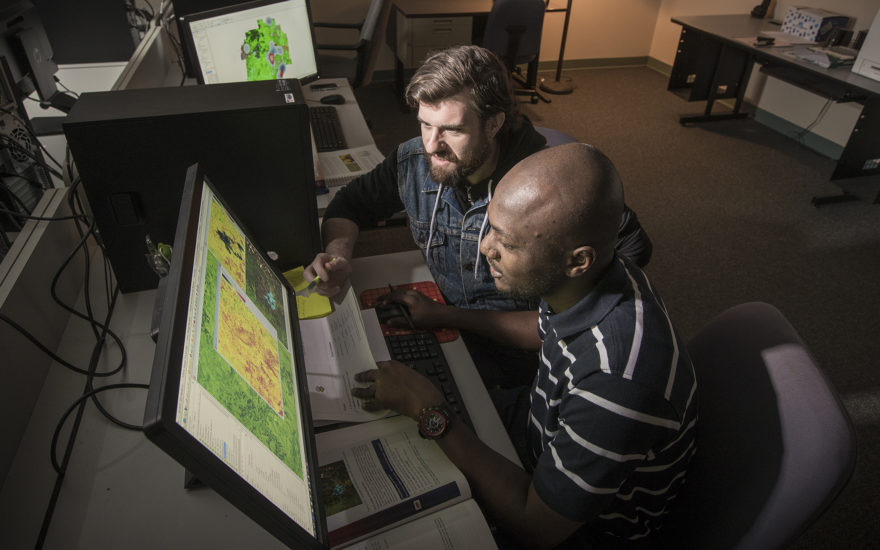
When you study GIS at Clark, you’ll find that your fellow students and faculty share a desire to use GIS technology to create positive social change. This fosters a unique campus culture of academic-activists who share your values, and who are eager to develop skills to effect change on local, national, and global levels.
Our students work closely with faculty experts to research, assess, and apply innovative geospatial approaches to some of the most pressing societal challenges. Our work is at the leading edge of areas such as biodiversity conservation, land-use land-cover change, climate change, earth systems information science, forest ecology, environmental justice, food security and humanitarian assistance.
Two study options
Internship/Professional Practitioner Track:
10 units, 1.5 years to complete
Under the guidance of an academic adviser, students pursue formal internships with leading GIS and remote sensing companies, organizations, or agencies as they apply their classrooms studies to real-world challenges.
Research Track:
12 units, 2 years to complete
Designed for students who wish to engage in in a research setting, or plan to eventually pursue a Ph.D.. Under the guidance of an advisor, students perform research and present results in a paper appropriate for a professional peer-reviewed journal article.
Why a Master’s in Geographic Information Science (GIS) at Clark?
- Master the core concepts in GIS and remote sensing
- Develop high-tech expertise that leads directly to a career
- Integrate and synthesize diverse information sources
- Apply GIS tools to real-world challenges
- Code and develop software applications for GIS
In addition, graduates gain skills including project management, problem-solving, and communication — that prove invaluable in any number of industries.
- Land change modelling
- Advanced Vector GIS
- Conservation GIS
- Advanced Remote Sensing
- Python Programming (basic and advanced)
- Geospatial Modelling with R
- Deep Learning for Earth Observation
GIS skills are critical in today’s professional world. Our graduates find success in fields such as urban and regional planning, emergency response, epidemiology, environmental planning, forestry, and conservation planning.
Clark GIS alumni pursue their passion in meaningful careers around the world:
- Advanced studies – 10% of graduates pursue a doctorate
- Environmental groups
- International NGOs
- Software development companies
- Government agencies, planning offices, and transportation departments
- Center Lead – NASA DEVELOP Program
- GIS Analyst – American Red Cross
- Research Editor – National Geographic
- Cartographer – Library of Congress
- Program Officer – Office for the Coordination of Humanitarian Affairs (OCHA), United Nations
- Center Lead – NASA DEVELOP Program
- GIS Analyst – American Red Cross
- Research Editor – National Geographic
- Cartographer – Library of Congress
- Program Officer – Office for the Coordination of Humanitarian Affairs (OCHA), United Nationsclark
GIS faculty have research interests that focus on biodiversity and conservation, land change modeling, forest monitoring and fire dynamics, software design and system development, decision science, health and community planning, international development, climate change adaptation, and food security applications.
Within this vibrant research community, there are many opportunities for students to become directly engaged in real-world issues for which geographic information science and its associated technologies are critical tools.
Our students have been selected as Switzer Environmental Fellows and summer fellows at NASA DEVELOP, and have won monetary awards for their research papers from the American Association of Geographers and the Urban and Regional Information Systems Association.
- Mapping agriculture in Africa, including developing innovative algorithms and logic that support continental-scale monitoring
- Tracing the causes and consequences of forest disturbances such as fires and insect outbreaks
- Monitoring and mapping mangroves and shrimp aquaculture on a global scale
- Assessing the impact of ground-mounted solar panel development on ecosystem services in New England
- Implementation of AI Foundation models for NASA’s remote sensing imagery
- Assessing the impacts of ecosystem degradation on biodiversity
“For the research community, there are a lot of data out there already, but for decision-makers and community members, not as much. We want to make this atlas so that it’s easy for them to understand how climate change will impact water resources and the livelihoods of people in the area.”
—Yelena Ogneva-Himmelberger
Professor
Sustainability and Social Justice
Faculty research areas

Yelena Ogneva-Himmelberger
Professor
A Roadmap for a Healthier Future
Professor Ogneva-Himmelberger uses spatial analysis to address preterm births, asthma, heat-related mortality, health disparities, noise pollution, and more.

John Rogan
Professor
Where There’s Smoke
Professor Rogan specializes in landscape ecology, fire ecology, optical remote sensing, and GIScience. He recently researched fire and weather mapping in Mexico and insect mapping near Detroit, Michigan.

Florencia Sangermano
Associate Professor
Keeping an Eye on our Planet’s Well-being
Professor Sangermano researches geospatial analysis and satellite remote sensing to evaluate changes in the earth system, and to assess effects on ecosystems and biodiversity.

Robert Gilmore Pontius
Professor
Predicting Land Cover Change
Professor Pontius develops innovative means of predicting land cover change for effective planning, as well as the tools necessary to assess model skill.

Lyndon Estes
Associate Professor
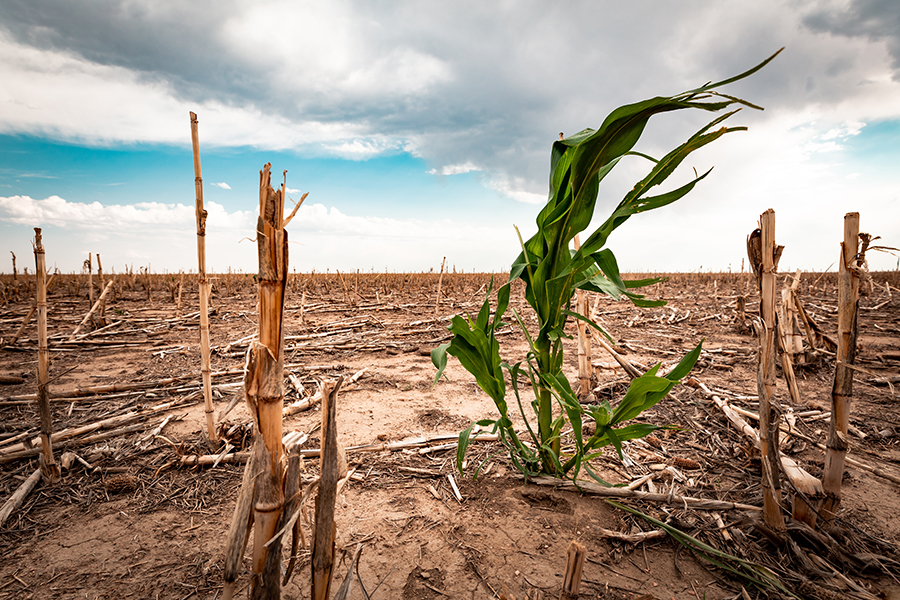
Taking on the Issue of Food Security
Professor Estes develops and uses Earth Observation technologies to study the drivers and impacts of agricultural change, primarily in Africa.

Hamed Alemohammad
Associate Professor
Advancing Geospatial Analytics
Professor Alemohammad combines GIS and remote sensing techniques with advanced AI and data analytics to better understand the changing Earth system.
Yelena Ogneva-Himmelberger
Professor
A Roadmap for a Healthier Future
Professor Ogneva-Himmelberger uses spatial analysis to address preterm births, asthma, heat-related mortality, health disparities, noise pollution, and more.
John Rogan
Professor
Where There’s Smoke
Professor Rogan specializes in landscape ecology, fire ecology, optical remote sensing, and GIScience. He recently researched fire and weather mapping in Mexico and insect mapping near Detroit, Michigan.
Florencia Sangermano
Associate Professor
Keeping an Eye on our Planet’s Well-being
Professor Sangermano researches geospatial analysis and satellite remote sensing to evaluate changes in the earth system, and to assess effects on ecosystems and biodiversity.
Robert Gilmore Pontius
Professor
Predicting Land Cover Change
Professor Pontius develops innovative means of predicting land cover change for effective planning, as well as the tools necessary to assess model skill.
Lyndon Estes
Associate Professor
Taking on the Issue of Food Security
Professor Estes develops and uses Earth Observation technologies to study the drivers and impacts of agricultural change, primarily in Africa.
Hamed Alemohammad
Associate Professor
Advancing Geospatial Analytics
Professor Alemohammad combines GIS and remote sensing techniques with advanced AI and data analytics to better understand the changing Earth system.
Academic Excellence. Global Reach. Career Success.
Join our supportive community of scholars. Ready to take the next step?