NASA
NASA and IBM, along with partners from the University of Alabama in Huntsville (UAH) and Clark University, have released a new AI-powered geospatial foundation model. This open-source tool was released in 2024 and is designed for Earth science research to analyse and predict environmental phenomena like floods, burn scars and cropland patterns.
This is for scientists, researchers and environmental analysts in Earth science. Using NASA’s Earth data, the model simplifies the research process and allows researchers around the world to access high quality, AI-powered geospatial analytics without needing to collect new data.
The key to this model is its flexibility. Unlike traditional models, this AI foundation model can be fine tuned to a task with much smaller datasets, reducing the time and effort to train. This opens up new possibilities for real time monitoring and management of environmental events, making it a valuable tool for climate change, disaster response and agricultural planning. And being open source, it democratizes access to AI so scientists of all backgrounds can contribute to and benefit from it.
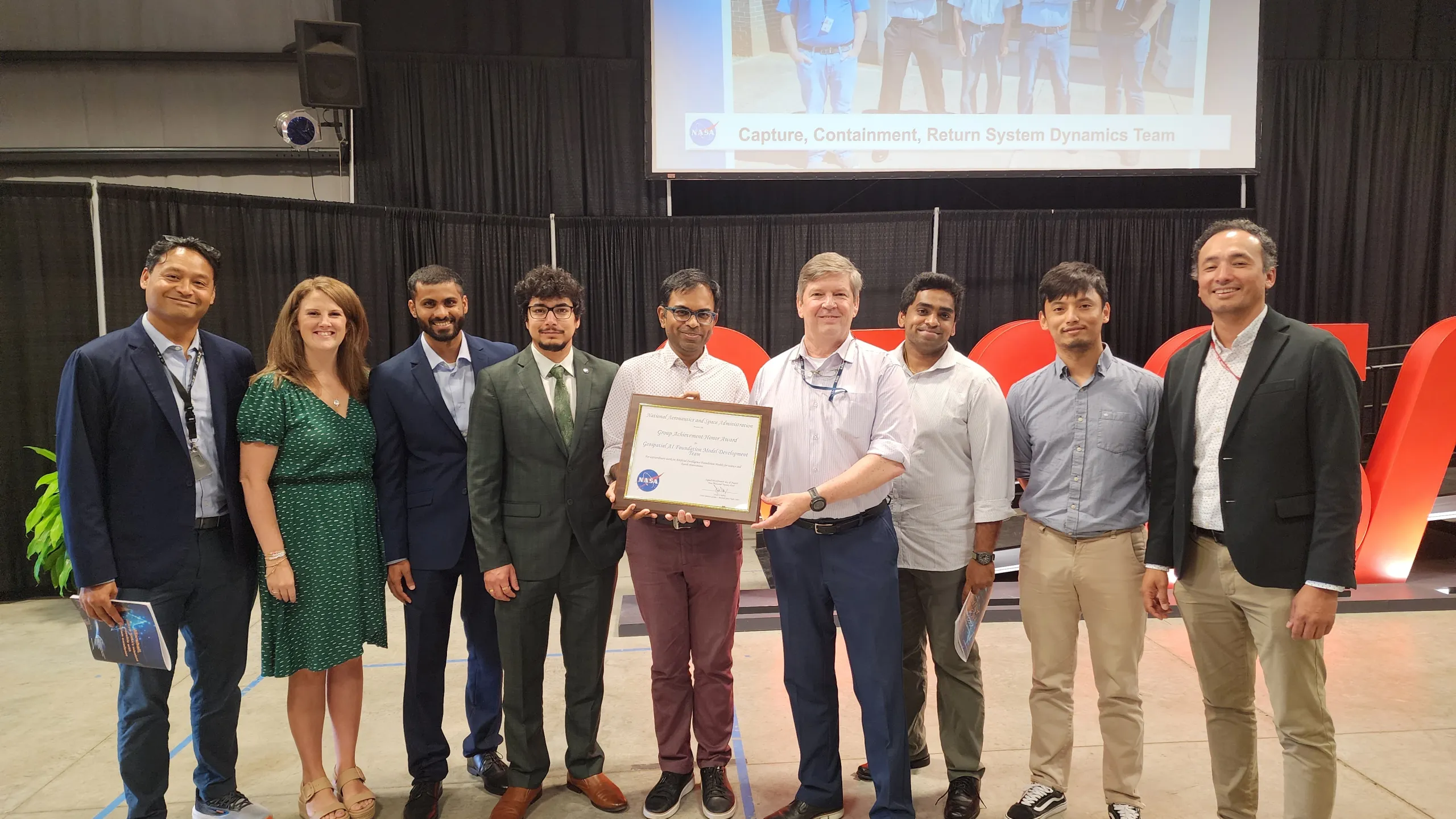
Hamed Alemohammad, director of the Center for Geospatial Analytics, led a team of Clark researchers who collaborated with NASA and IBM on a project working to harness AI technology for geospatial intelligence and climate change research. The resulting model is now available as an open-source application. For their groundbreaking work on this project, the development team received the NASA Marshall Space Flight Center Group Achievement Award, NASA reported on its science news site. Along with Alemhoammad, the Clark team included Michael Cecil, M.A. ’14, Ph.D. ’24; Steve Li, M.S. ’24; Sam Khallaghi, Ph.D. ’24; Denys Godwin, M.S. ’24, Ph.D. student; Maryam Ahmadi, M.S. ’23; and Fatemeh Kordi, Ph.D. student.
Please click here to read more about the achievement award.
